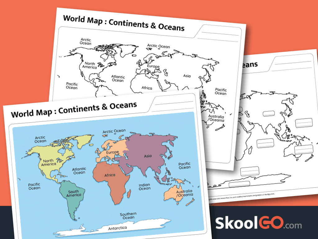
World Map Continents and Oceans Worksheet Printable helps students explore global geography through an engaging map activity. Students identify, recognize, and label the world’s continents and oceans. Consequently, they build stronger map-reading skills while expanding their geography vocabulary.
Build Geography Knowledge With Interactive Mapping
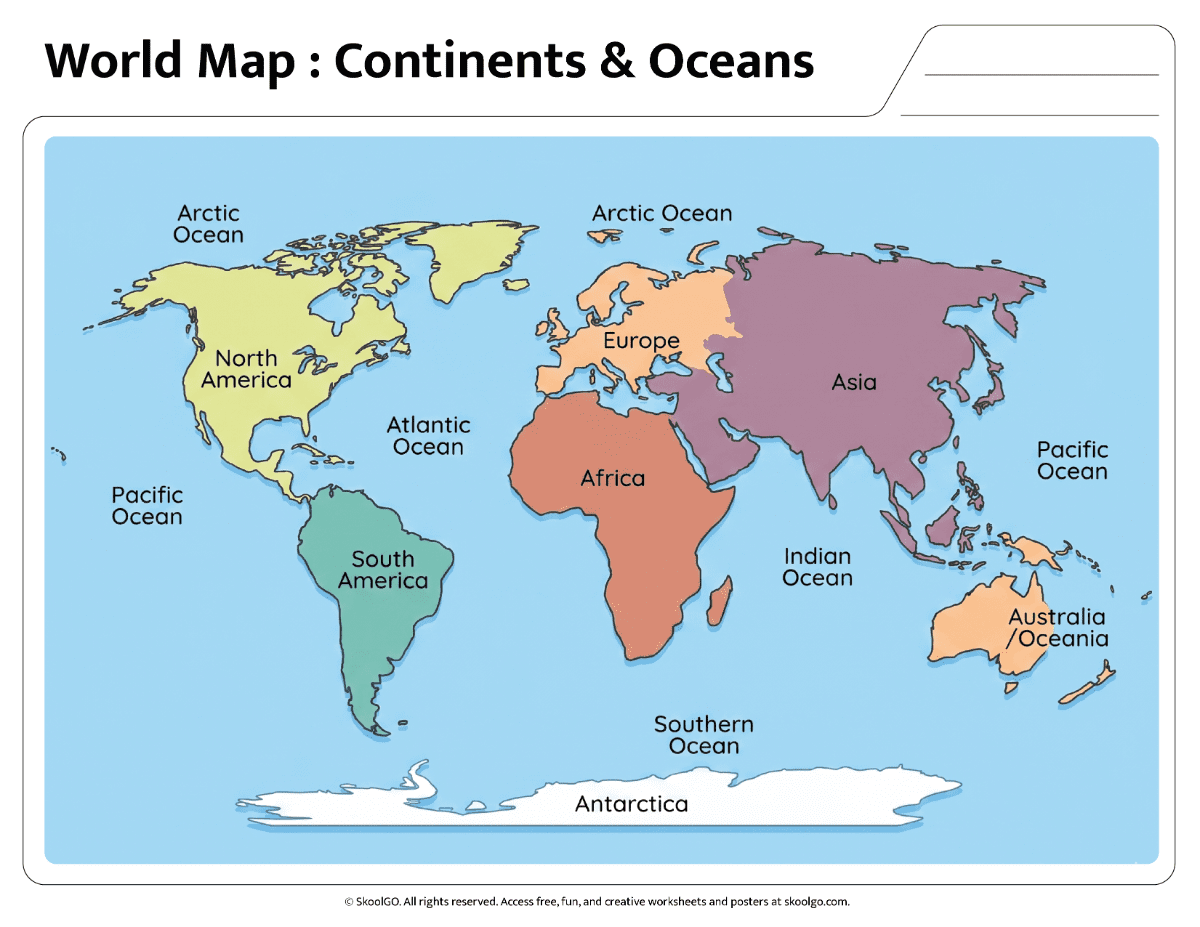
This resource presents a clear world map with labeled reference material and independent practice pages. Furthermore, the layout supports easy navigation across continents and oceans. Students can observe locations, compare regions, and connect geographical features.
The activity develops observation skills, visual perception, memory retention, and reading comprehension. In addition, learners strengthen geography vocabulary as they identify major landmasses and bodies of water. These tasks encourage critical thinking and accurate map interpretation.
The document includes three landscape pages in PDF format. First, students review a full-color reference map. Next, they use practice maps to reinforce learning through labeling activities. The worksheet is designed for standard Letter-size paper and prints clearly for classroom or homeschool use.
Overall, this printable geography resource offers meaningful practice for elementary learners. Download the worksheet today and support confident learning through hands-on map exploration. Students will gain valuable world geography knowledge while enjoying an engaging educational activity.
Worksheet preview:
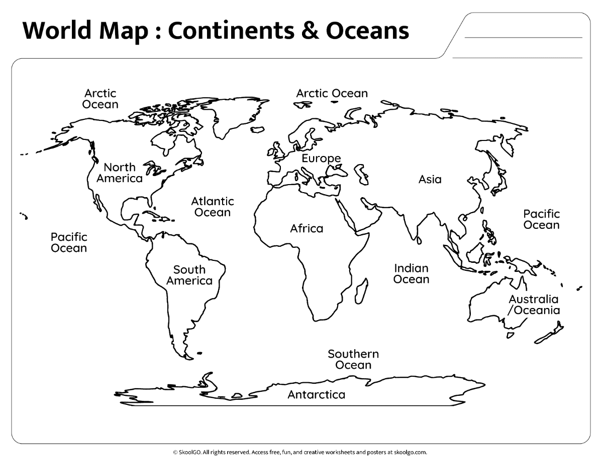
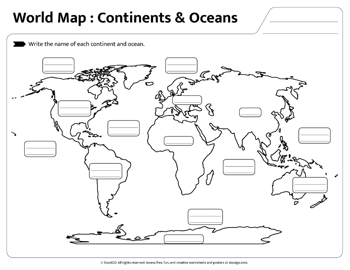
The worksheet document features:
-
- One full-color world map showing continents and oceans
- One practice world map for geography review
- One labeling worksheet for continents and oceans
- Unique and exclusive design
- Landscape orientation
- Standard Letter size (8.5 x 11 inches)
- Available as a downloadable PDF file